Starlink satellites turned into giant scanner for Earth's upper atmosphere
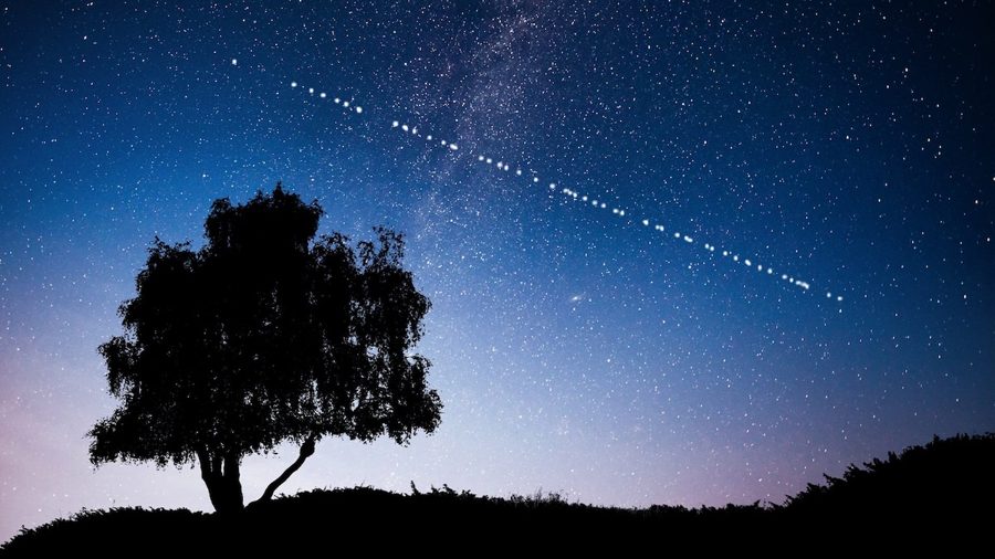
Researchers at Kyoto University have devised a method to map Earth's upper atmosphere using data from roughly 1,200 Starlink satellites operated by SpaceX. The team reconstructed density variations of the air at an altitude of about 500 kilometers above the planet's surface. This approach could improve the accuracy of satellite tracking and reduce the growing risk of collisions in orbit.
The region around Earth is becoming increasingly crowded as thousands of satellites and pieces of space debris move through low Earth orbit. At altitudes of several hundred kilometers, traces of the planet's upper atmosphere can still generate enough drag to slow down satellites and other objects. In such conditions, measuring atmospheric density at these heights is essential for predicting satellite motion and lowering the risk of impacts.
More precise measurements of thermosphere density could advance research into the upper layers of the atmosphere and provide valuable input for spacecraft engineering. The scientists developed a novel visualization technique for this region, which is difficult to observe directly.
The study bridges space science and space engineering, said lead author Mamoru Yamamoto. After reviewing work from both fields, the researchers realized that a deeper dialogue between specialists in these disciplines is necessary.
The team relied on publicly available orbital data for Starlink satellites and applied tomography to Earth's upper atmosphere. By analyzing the atmospheric drag that occurs as satellite orbits gradually decay, the researchers estimated air density at roughly 500 kilometers above the surface. The findings could help refine orbital models and make collision avoidance more reliable as the number of objects in space continues to grow.